The Best Mountain range Photo Spots around Athabasca in Canada
Explore Mountain range pictures of Athabasca with the travel spots on a map
Download the Travel Map of Canada on Google Maps here
12 Mountain range Spots of Athabasca on a Map
Pictures of Mountain range on the interacive map of Athabasca
Download On Google Maps 🗺️📲Mountain range Spots and Pictures around Athabasca
Discover popular destinations in Athabasca with their travel guides
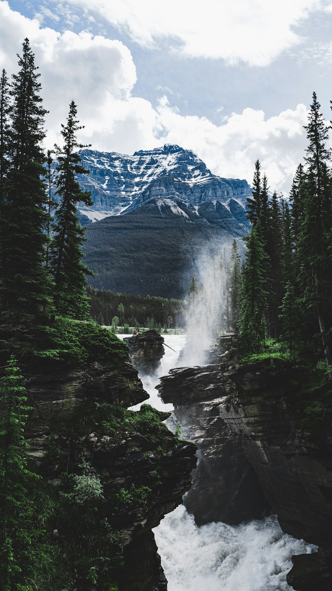
Athabasca Falls
Read the Travel guide View on Google Maps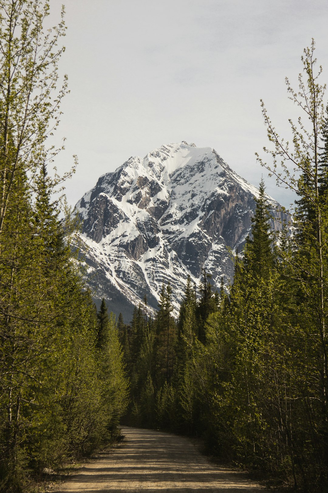
Jasper National Park
17 km away from Athabasca
Read the Travel guide View on Google Maps
Unnamed Road
18 km away from Athabasca
Read the Travel guide View on Google Maps
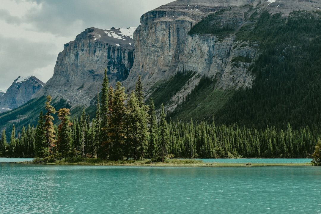
Maligne Lake
24 km away from Athabasca
Read the Travel guide View on Google Maps
Jasper
27 km away from Athabasca
Read the Travel guide View on Google Maps
Spirit Island
27 km away from Athabasca
Read the Travel guide View on Google Maps
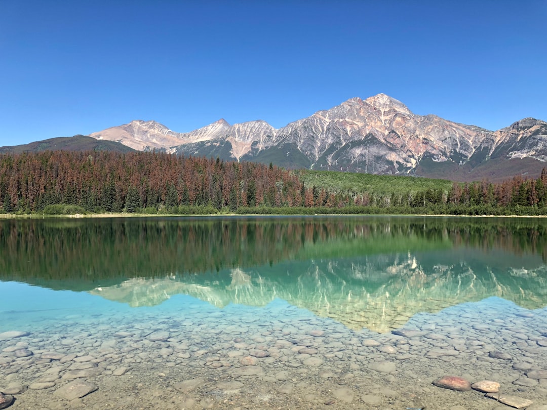
Pyramid Lake
31 km away from Athabasca
Read the Travel guide View on Google Maps
British Columbia
38 km away from Athabasca
Read the Travel guide View on Google Maps
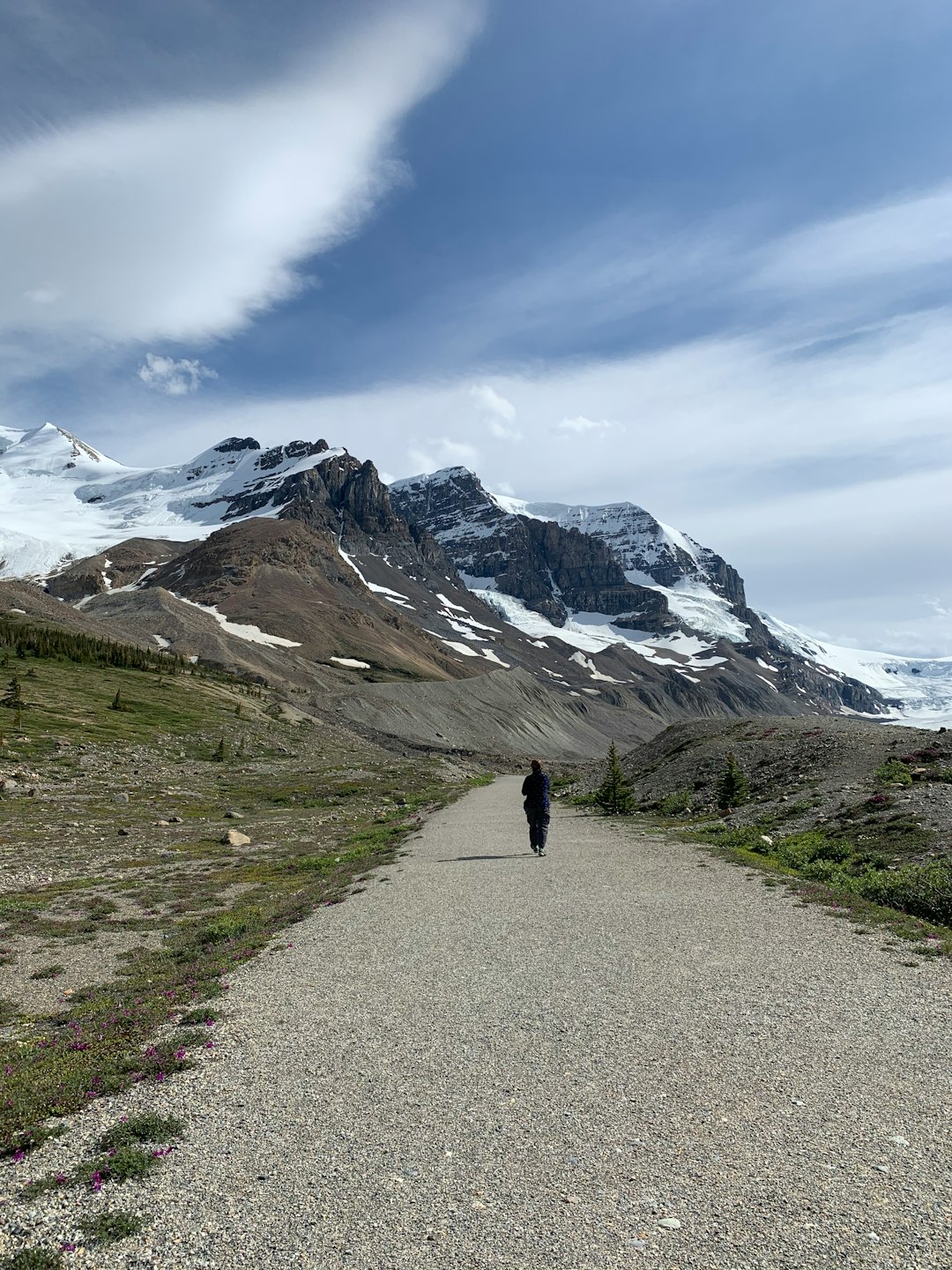
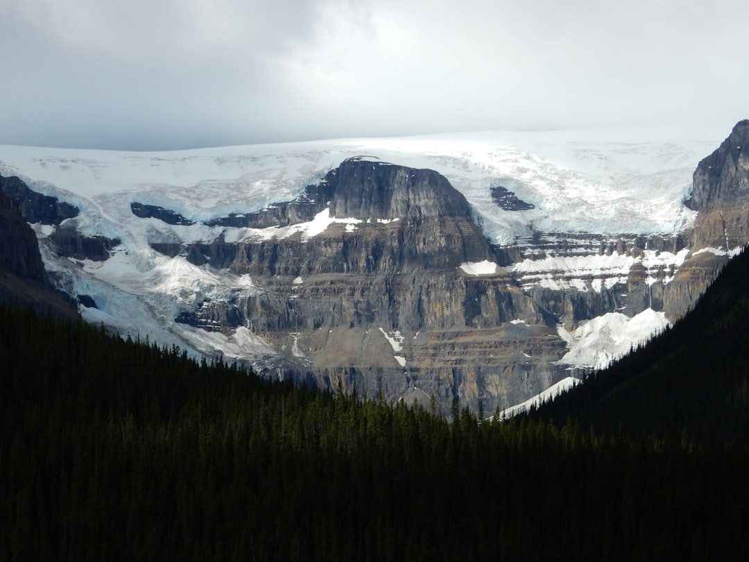
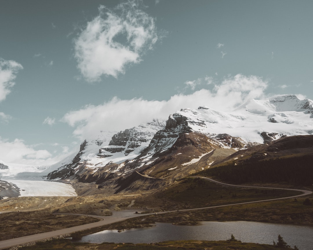
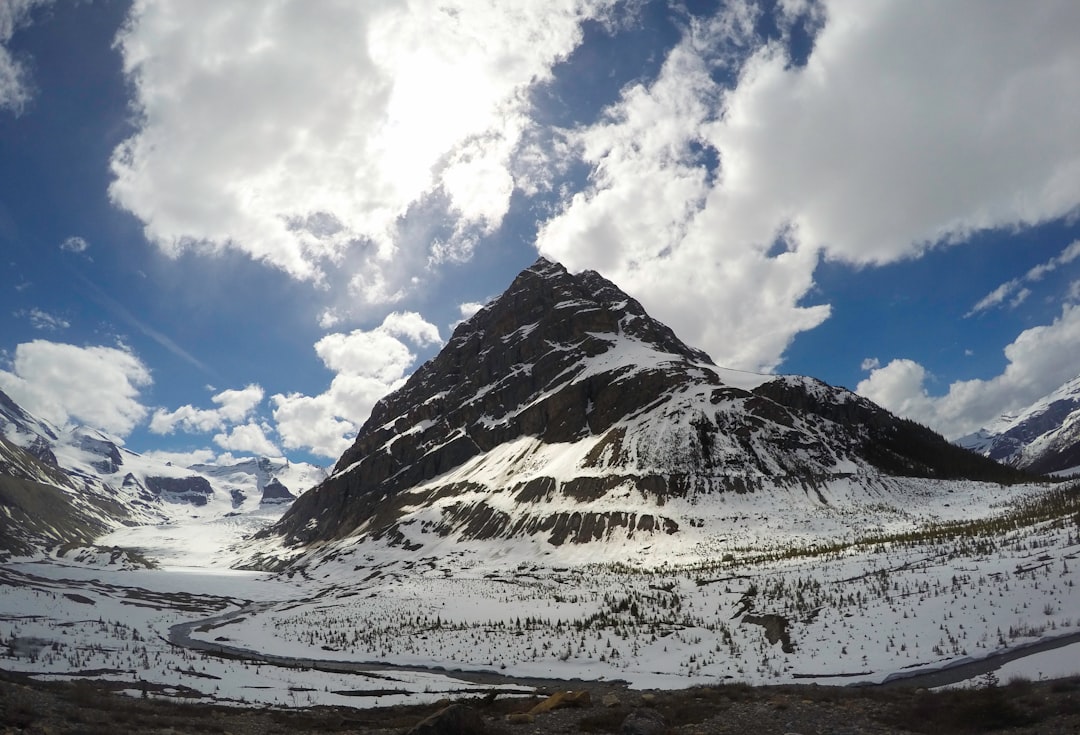
Athabasca Glacier
68 km away from Athabasca
Read the Travel guide View on Google Maps
Brûlé
72 km away from Athabasca
Read the Travel guide View on Google Maps
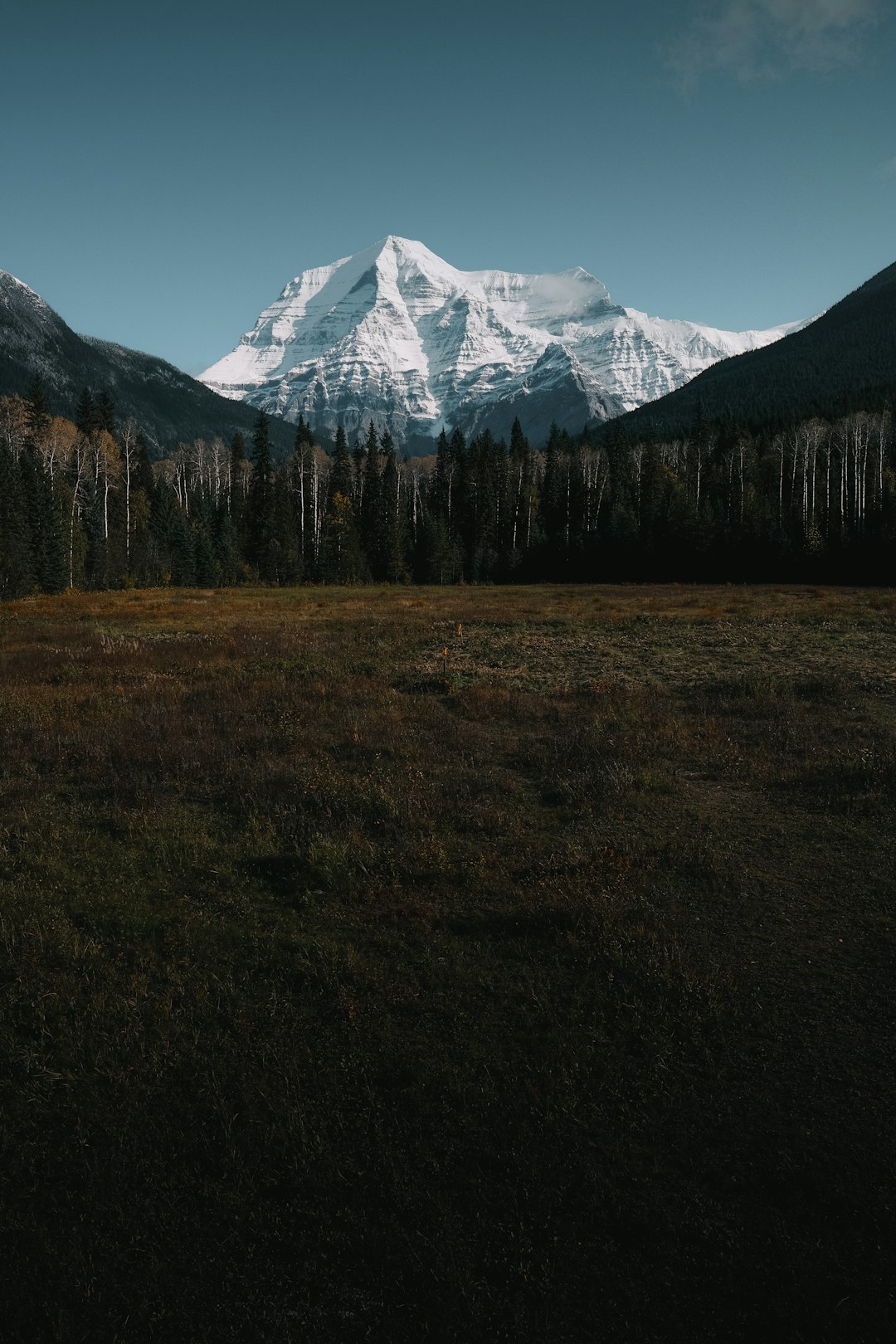
Mount Robson Provincial Park
86 km away from Athabasca
Read the Travel guide View on Google Maps
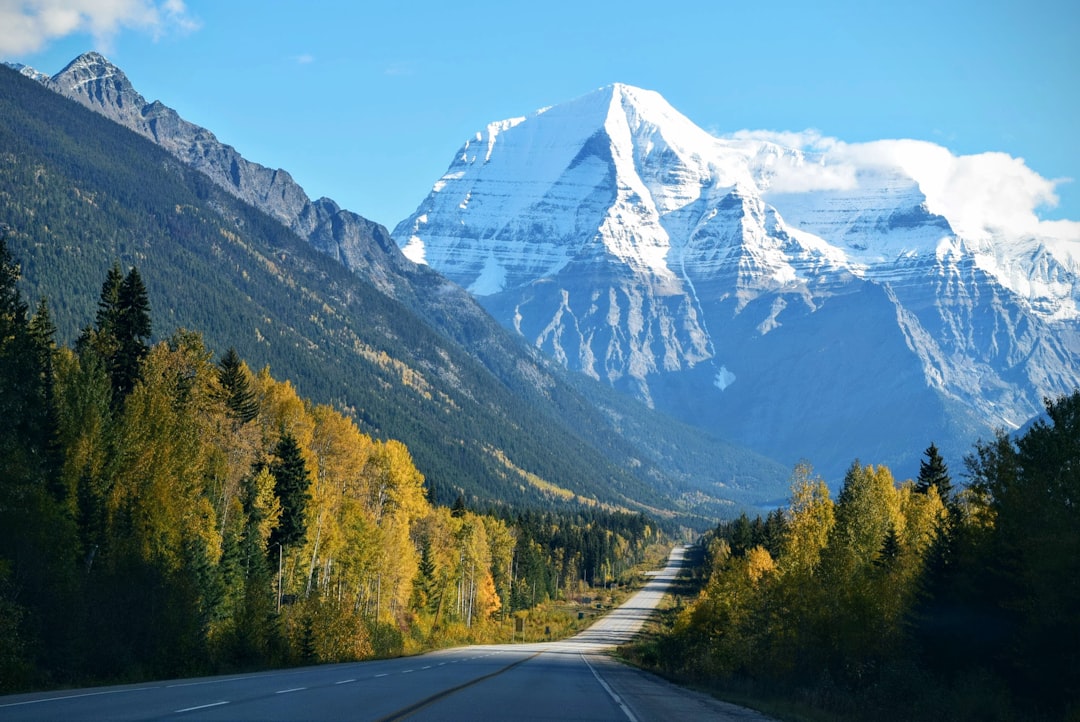
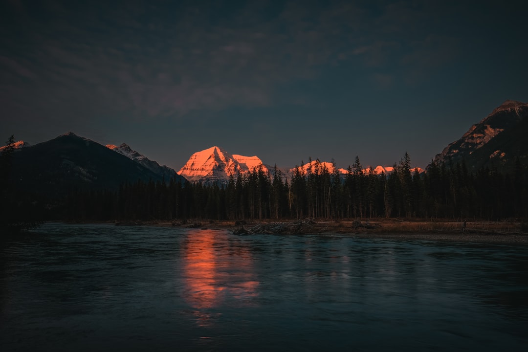
Mount Robson
99 km away from Athabasca
Read the Travel guide View on Google Maps
Book your Travel Experience in Athabasca
Discover the best tours and activities in Athabasca and book your travel experience today with our booking partners
Learn More about Athabasca
Find Hotels in Athabasca
Discover the best hotels around Athabasca, Canada and book your stay today with our booking partner booking.com